Network Calculation and Tuning
In addition to the most frequent topographical calculations (polygon, radiations, leveling, static GPS, …) we also perform all kinds of adjustment of observations with the highest precision
At TOPOCAT we use the prestigious BINGO software for adjustment by Least Squares.
This program allows us to adjust Topographic Networks, Geodetic Networks, GPS Networks (STATIC and KINETICS bases), as well as the adjustment of Photogrammetric Blocks by beams (AEROS or TERRESTRES).
In fact it is by the:
- Conception of its stochastic model.
- (Correlation Test q = 0.80, Data-snooping according to Baarda, vTPv = -ITPv, “a posteriori” analysis of the estimate of the variance component, …).
- Automatic deletion of mistakes (gross errors) and errors.
- Independent allocation of weights.
- Unlimited size (depends only on computer hardware).
Which make the BINGO program an ideal tool for COMBINATION adjustment of all the observables mentioned (topographical, GPS, photometric, …).
In Topographic and Geodetic observations, in addition to the classical observations (angles and distances), in TOPOCAT we can carry out the PRE-ANALYSIS of the network, SIMULATION of networks, 2D or 3D analysis, altimetric adjustment, adjustment of lines and networks Of GEOMETRIC LEVELS.
In the photogrammetric block setting, in addition to the photogrammetric observations, you can also incorporate IMU‘s (Inertial Navigation Unit) values, impose metric conditions between the cameras (for terrestrial industrial photogrammetry) and perform a complete calibration of the metric cameras, Semimetric and non-metric (used lately in drones, …)
-
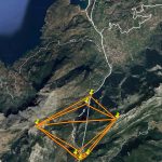
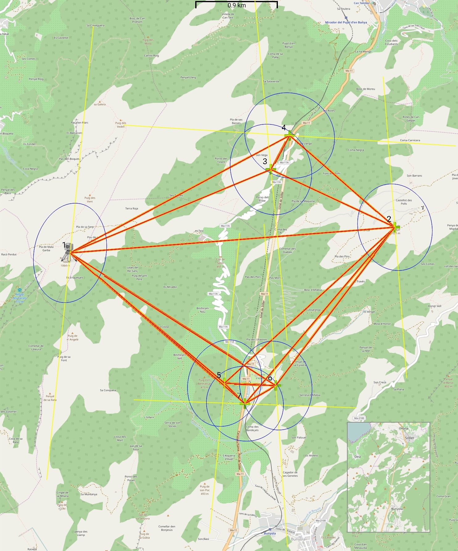
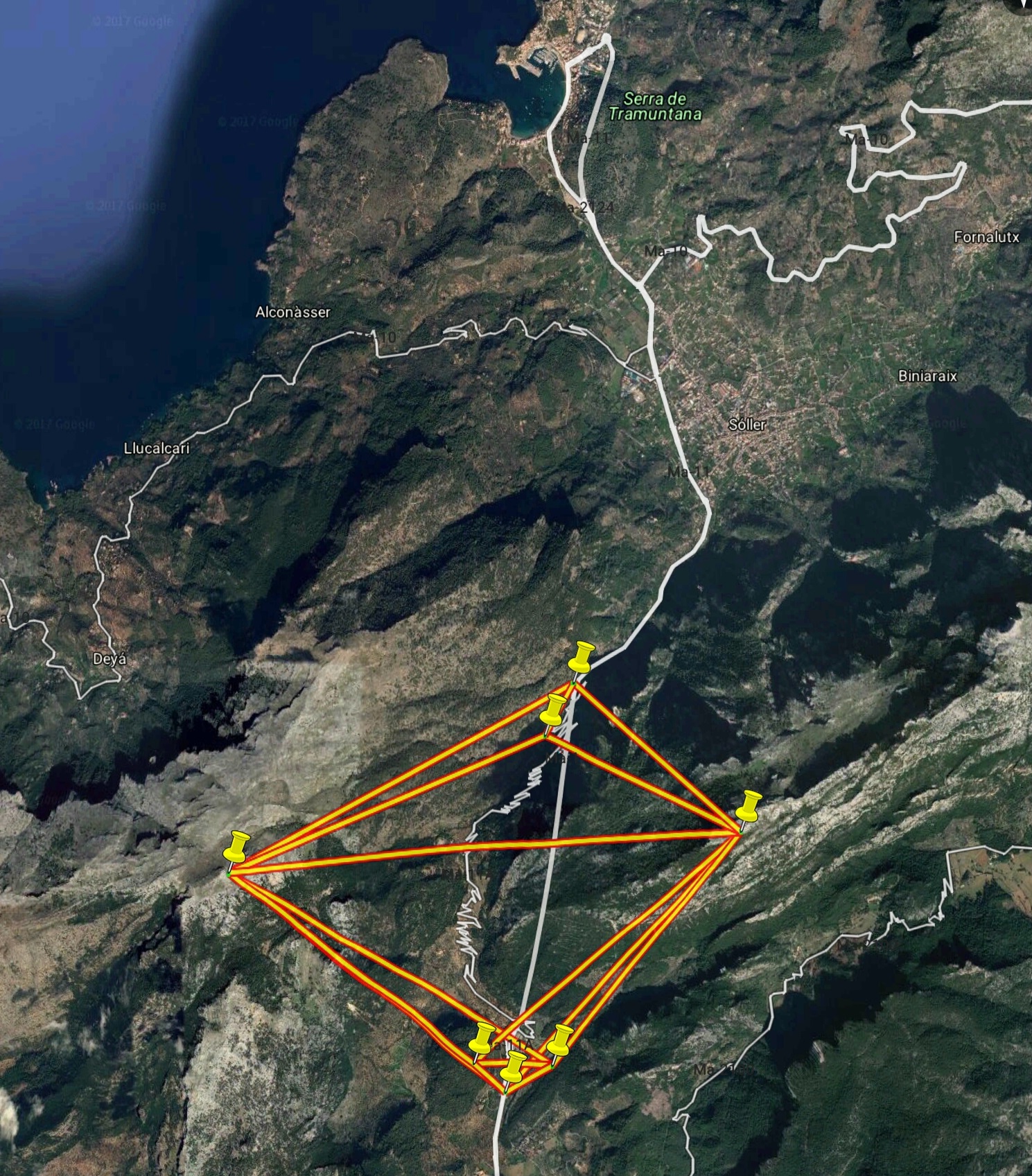
- Tunel de Soller
-
- Ajuste de Red